Tour Archive

Cupramontana, Follonica, San Paolo di Jesi and Staffolo
Distance:  km 21 Time advised: 4 hours (on foot); an hour (by car) Difficulty: medium   From the archaeological area in Cupramontana, take the road which leads to Follonica, San Paolo un
Maiolati Spontini
Distance:  km 21 Time advised: 3 hours (on foot); an hour (by car) Difficulty: easy   Starting from Santa Maria alle Moie Abbey, follow the road towards San Sisto and visit its Abbey;&nb
Poggio San Marcello and Montecarotto
One of the most stunning natural and environmental gems in Ancona! Located between Poggio San Marcello and Montecarotto where the stream Fossato meets its tributary forming a Y. This natural paradis
Castelplanio and Rosora
Distance:  km 5 Time advised: 75 minutes to go up, 45 minutes to go down Difficulty: easy   Explore the wet route of the Black Crab on foot or on the saddle of a mountain bike, starting from
Moie, Maiolati Spontini, Colle Celeste, Boccolina, Vecchio Rotone, Moie
Distance:  km 15 Time advised: an hour and a half Difficulty: medium   From Piazza Kennedy (Kennedy Square) follow via Trieste (Trieste Street) for about a kilometre and after the third
Cupramontana, Pian della Casa, Apiro, Fosso dell' Ubriaco, Cervara, Valcarecce, Colognola, S. Pietro, Staffolo, San Paolo, S. Michele, Cupramontana
Distance:  km 35 Time advised: 3 hours Difficulty: difficult   Starting from the parking in front of the cellar Colonnara and following the signs indicating the historic centre, take the
Cupramontana, S. Marco, Calapina, Castelbellino, Monteroberto, Maiolati Spontini, Cupramontana
Cupramontana, S. Marco, Calapina, Castelbellino, Monteroberto, Maiolati Spontini, Cupramontana Distance:  km 14 Time advised: 75 minutes Difficulty: easy   Starting from the parking in
Pages: 1
The route of the Black Crab

Distance:  km 5

Time advised: 75 minutes to go up, 45 minutes to go down

Difficulty: easy


Explore the wet route of the Black Crab on foot or on the saddle of a mountain bike, starting from the  museum of Castelplanio and going downhill along Caciampa Street until the ditch.

You can also leave your car in the square in front of the Church in Macine-Castelplanio, also called Castelplanio Stazione and follow Via Copparoni until you reach the entrance of the route.

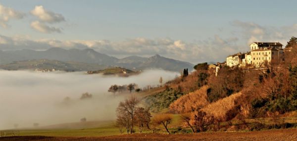
The path is flat at first, but after 2 km it climbs up to Castelplanio and ends near the Town Hall Square (Palazzo Mancini).

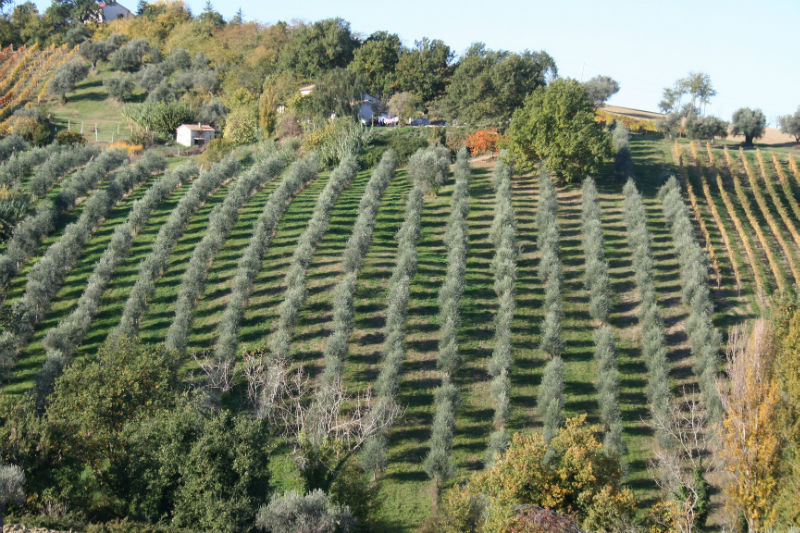
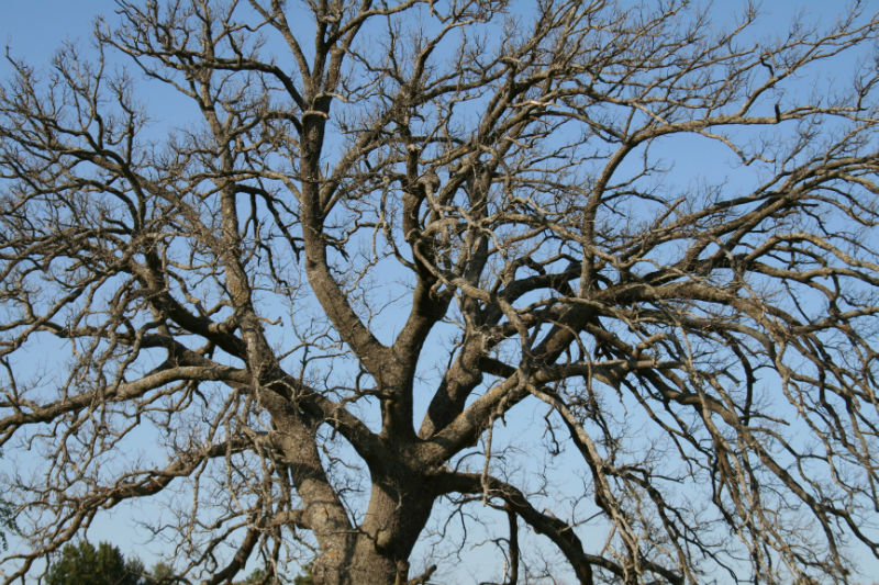
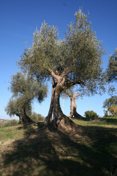
Along the route, you can admire the river-wood located in the border area between Castelplanio and Rosora.

The vegetation boasts rare tree species such as the white alder, the narcissus and the wild orchid and you can also find butterbur and pennywort.

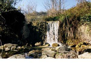
Fonte del Coppo, dating back to the XVIII century, is the first  water supply in Castelpanio and the quality of the ditch’s waters have been better since 1995.

This small river with waterfalls and  small lakes is the ideal spot to enjoy a strict contact with a natural world of profound beauty. Be careful: avoid it after rain!

Titolo

Titolo

Titolo

Newsletter


Click here to subscribe newsletter


cantineculturadormiremangiare

naturatradizionispiritualita

Tel.  +39 0731778710

Fax. +39 0731778750

Via Nazario Sauro, 1

60034 Cupramontana (AN)

CastelbellinoCastelplanioCUPRAMONTANACastelplanioMONTE ROBERTOMONTECAROTTOPOGGIO SAN MARCELLOSAN PAOLO DI JESISTAFFOLO
 LOGO UNIONE EUROPEA